01 · 2024 – now · Ongoing research
Lost in Subway
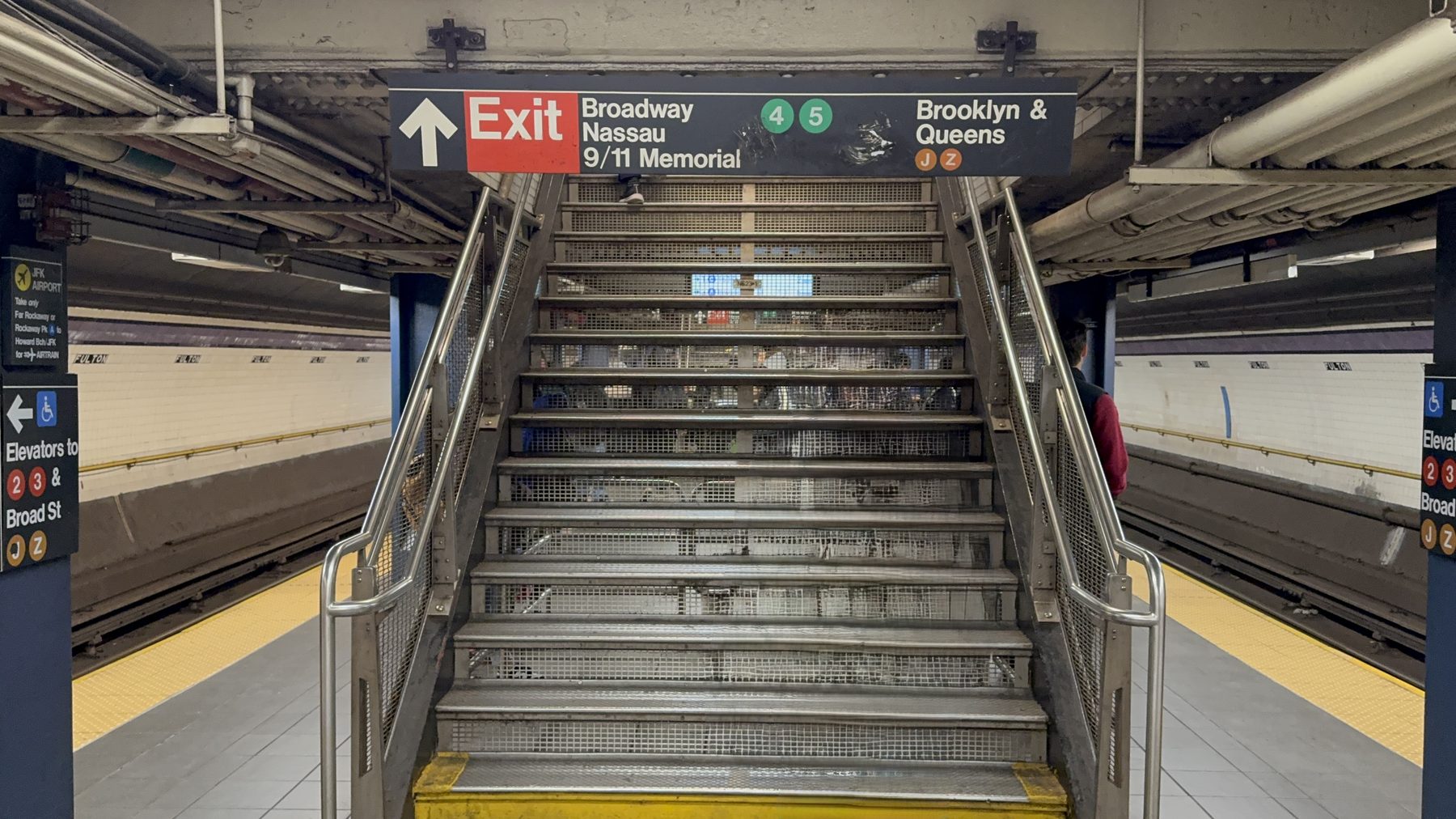
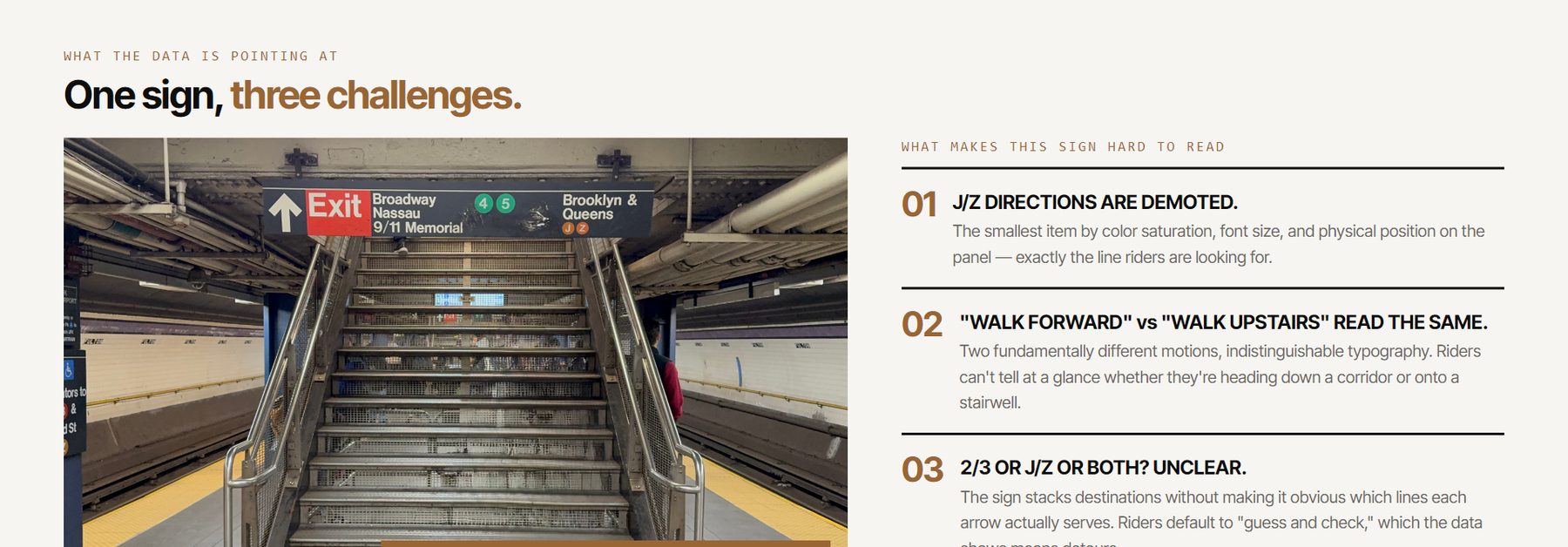
At Fulton Street, riders changing from the A/C often can't find the platform for the J/Z toward Brooklyn and Queens. Since 2024 I've studied that one wayfinding problem from many sides: fieldwork in the station, a web game that turns every wrong turn into data, a kiosk that collects stories of getting lost, a research paper, and a 3D model of the whole station built with a phone.
- Role
- Solo project: research, fieldwork, photography, 3D scanning, design and code
- Context
- Began in Intro to Data Visualization (Fall 2024), continued in Design of Cities (Spring 2026) and independently. MS Data Visualization, Parsons
- Shown at
- Parsons Care Festival, March 2026 · Parsons x Impact: Seaport Satellite, NYCxDesign, May 2026
- Links
- Play the game · Research dashboard · Story kiosk · Film (2024) · @lostinsubway
Tools: p5.js, React, TypeScript, Firebase, Vercel, Polycam (iPhone LiDAR), COLMAP, Gaussian splatting (Brush), Blender, three.js. AI help: Claude Code and Claude Design (game), Google AI Studio and Gemini (kiosk), Codex and Claude Code (3D pipeline).
Where it started: Fulton Street on the Table
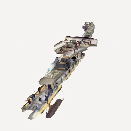
In fall 2024 I started spending time in the station helping lost riders, photographing every decision point at eye level, and scanning the A/C and J/Z areas with iPhone LiDAR. My class prototype combined a 2D station map, the scan and a guide character in p5.js, with the hypothesis that the station's maps and signs were "still not effective" for this transfer.
The seven decision points I mapped then became the backbone of the game in 2026. I also made a short film, Lost in Subway at Fulton St (3:11).
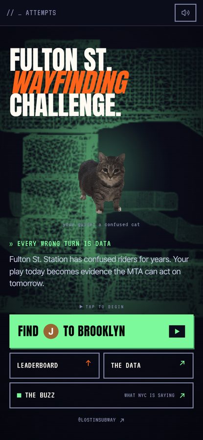
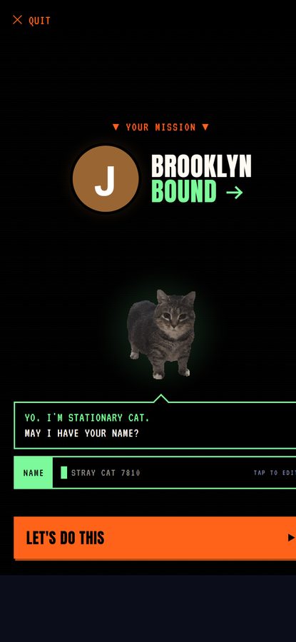
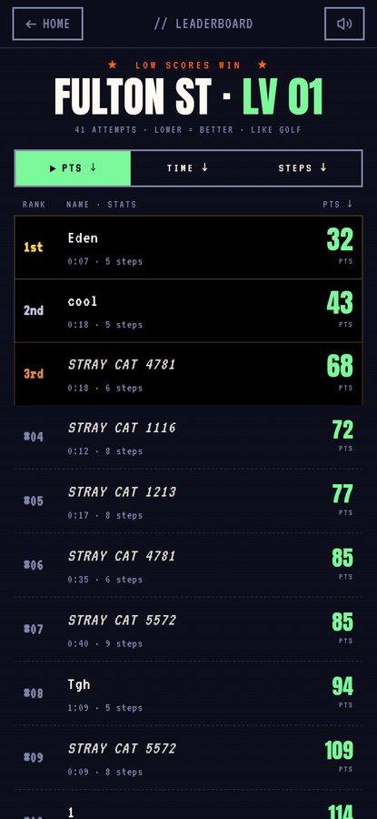
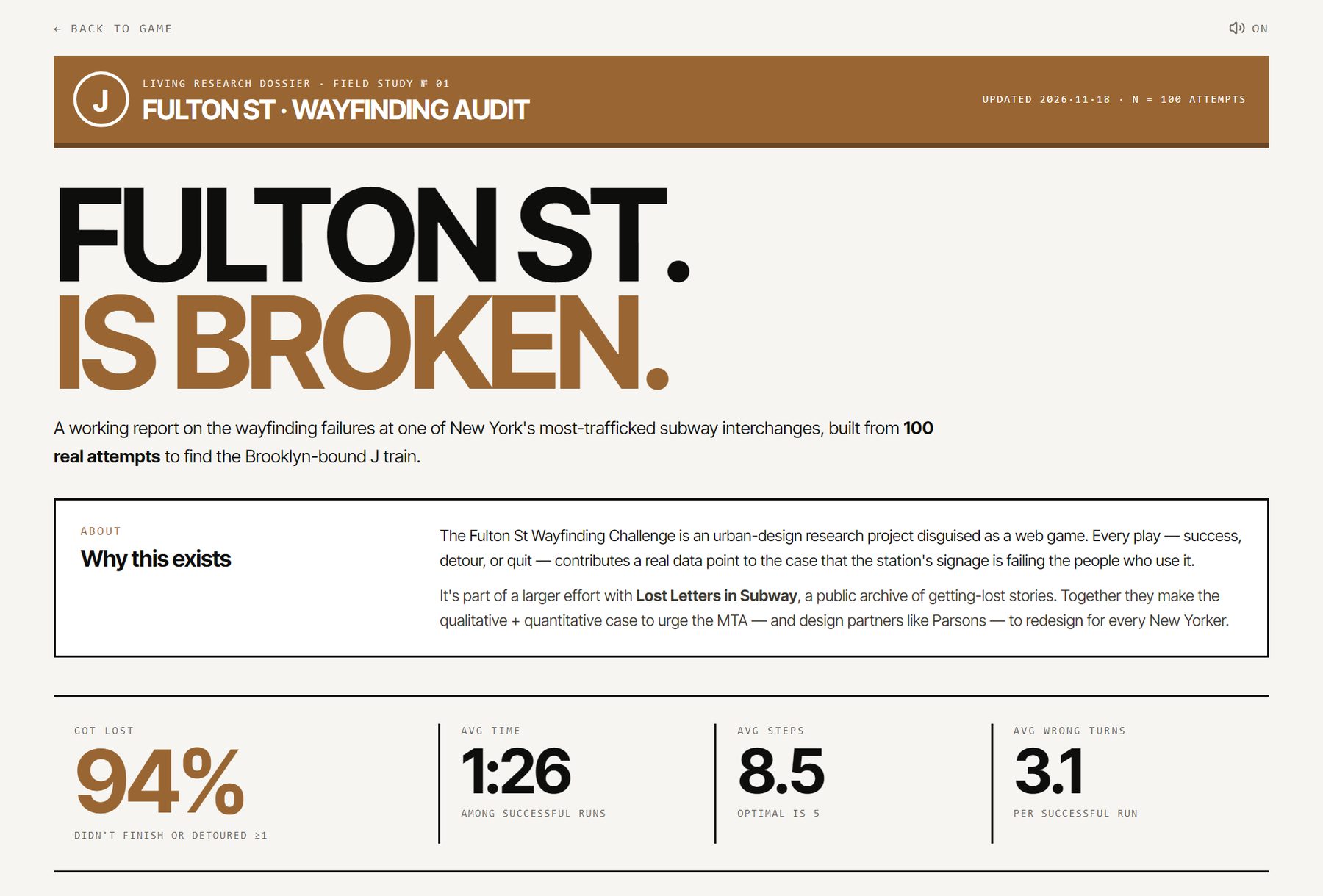
Fulton St. Wayfinding Challenge
A mobile game built from my own photos, taken at a rider's eye height at the seven decision points. The mission: start on the A/C platform and find the J to Brooklyn, with a confused cat as your guide. The most common wrong destination, the J platform toward Broad St, is built in.
Every play is logged (path, wrong turns, time), and a live research dashboard turns the plays into evidence about the signs. I call it an urban-design research project disguised as a web game.
Lost Letter in Subway
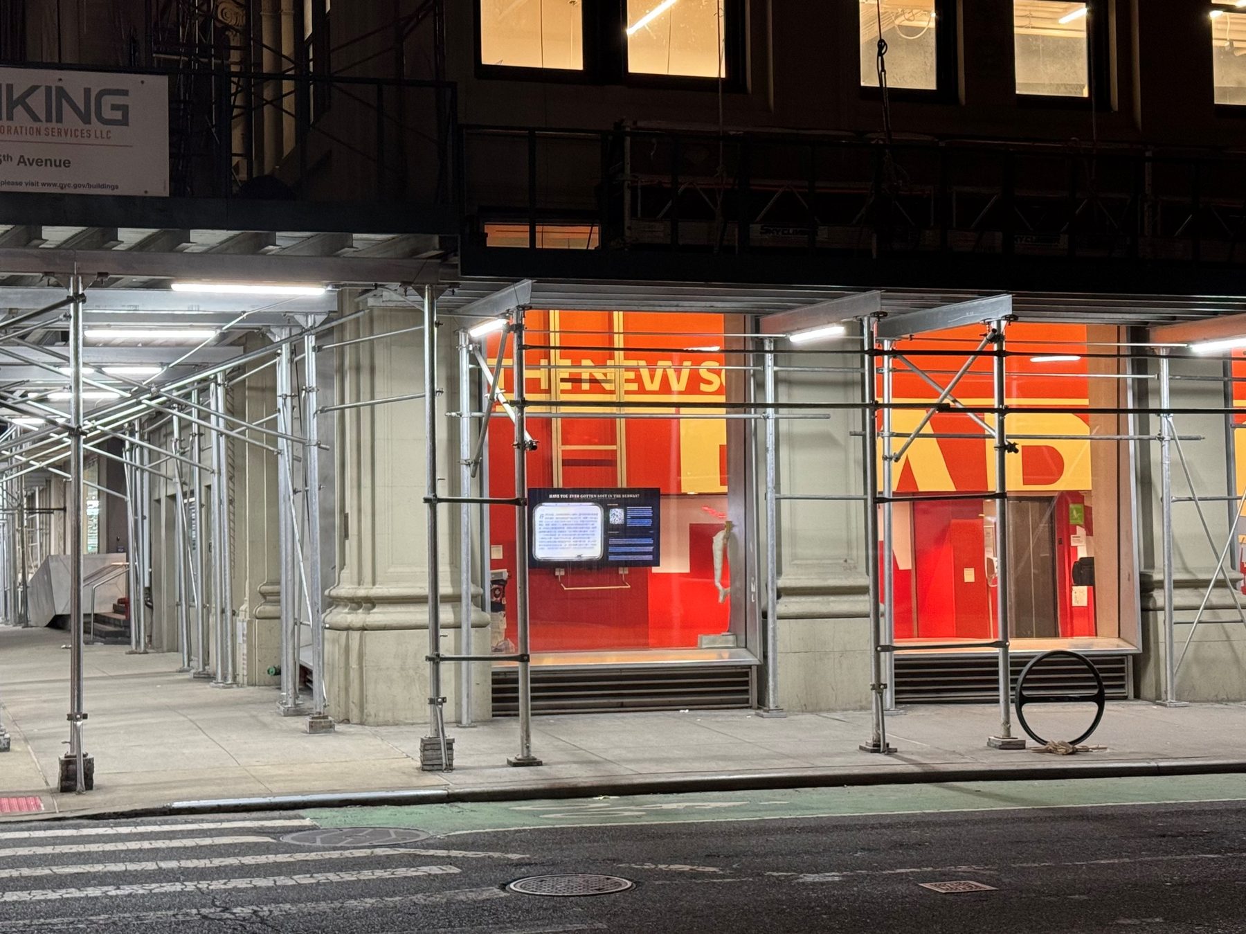
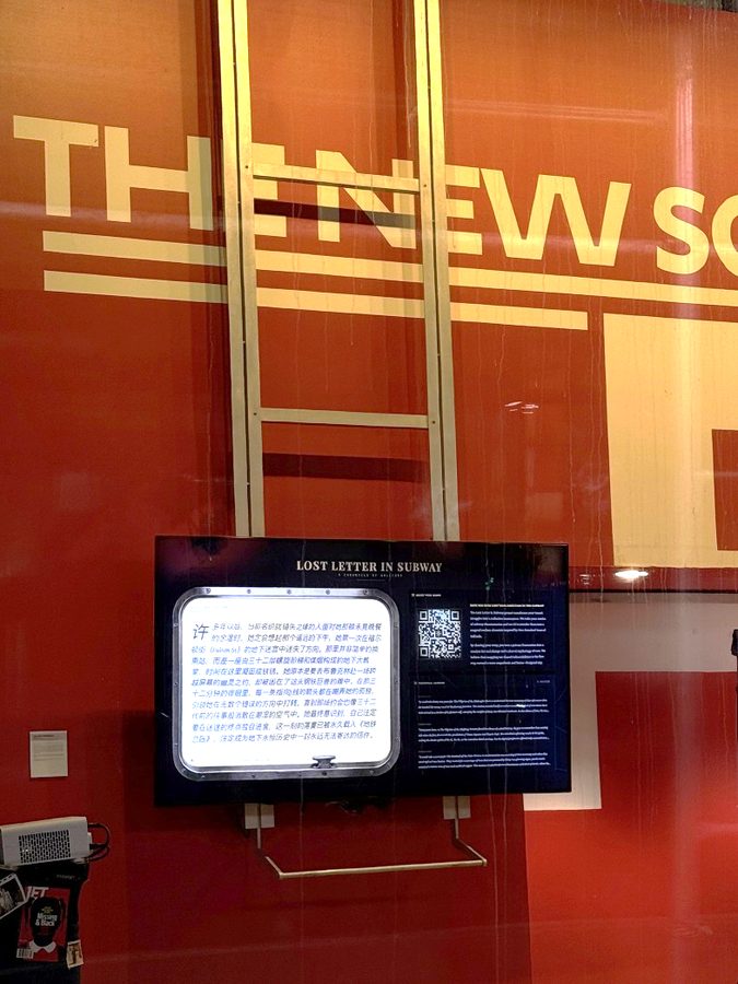
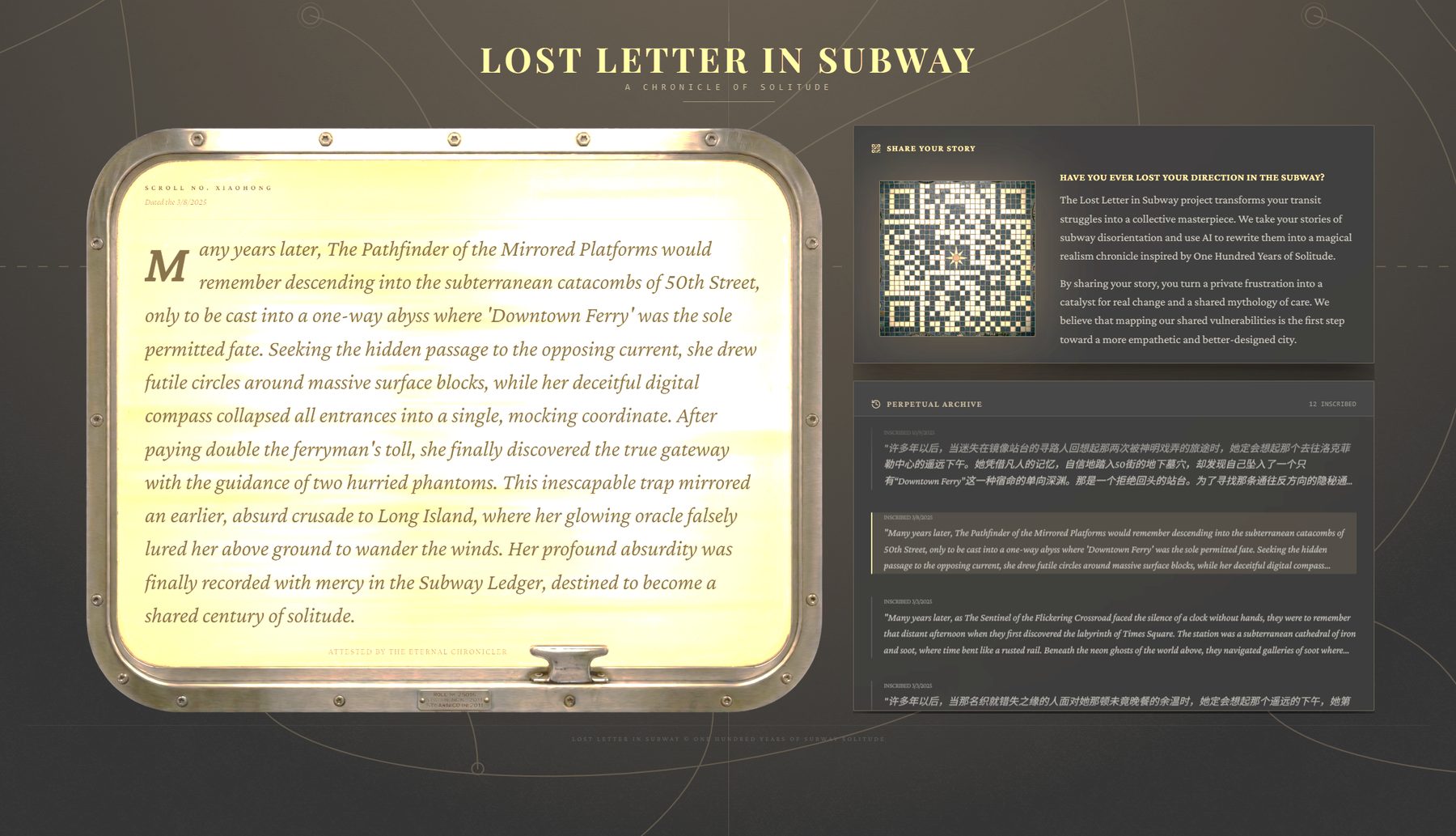
A story kiosk for a street window. Passers-by scan a QR code and share a story about getting lost underground. An AI model (Gemini) retells each one as a short magical-realism fragment, in the spirit of One Hundred Years of Solitude, and the screen cycles through them as a perpetual archive: "A Chronicle of Solitude."
Shown at the Parsons Care Festival ("Visibilize-ing Care," March 2026) and again at Parsons x Impact: Seaport Satellite during NYCxDesign Week (May 2026), together with the game.
Designing Urban Legibility
A research paper, Designing Urban Legibility: A Study of Wayfinding at Fulton Street Station, that brings the fieldwork, the game data and the stories together. Its central idea is the gap between planned legibility (what the signs intend) and lived legibility (what riders actually experience). It treats being lost as an overlooked urban signal: when the city becomes more legible, it becomes more accessible and more caring.
A phone-made model of the whole station
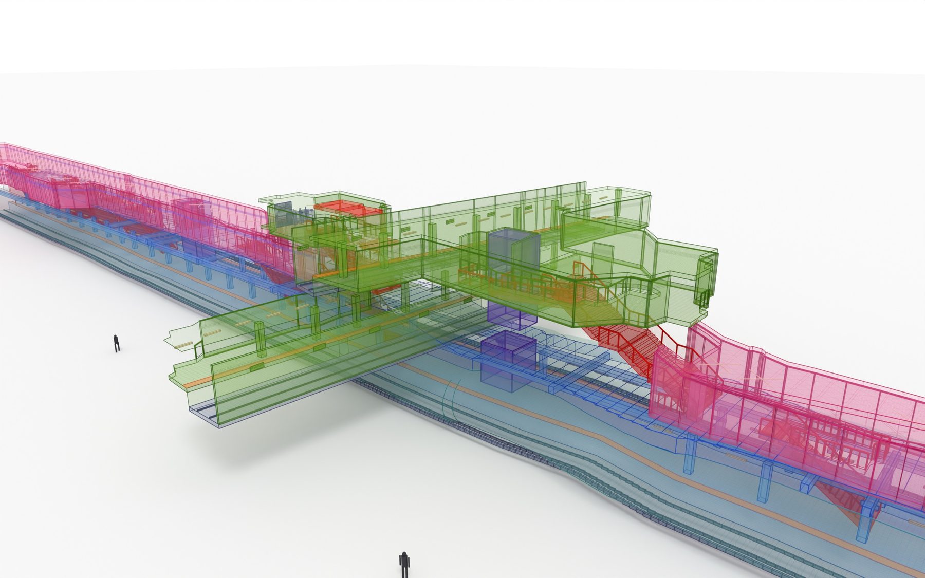
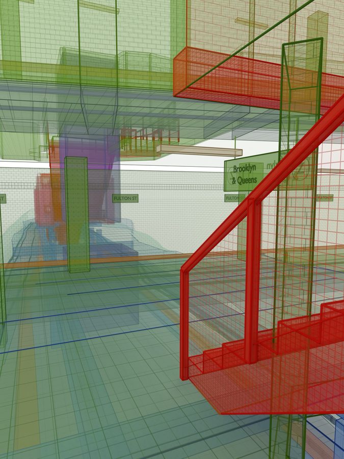
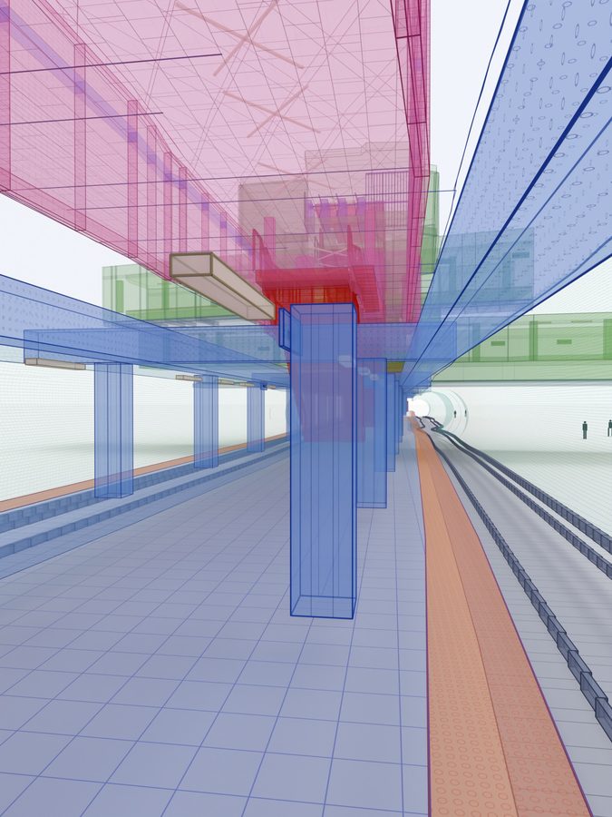
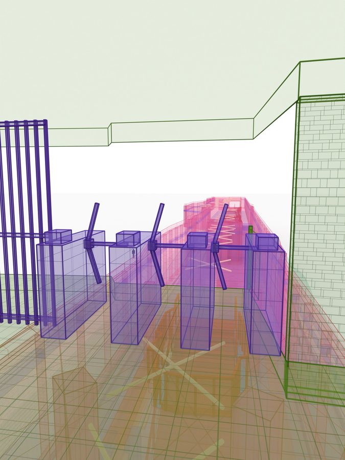
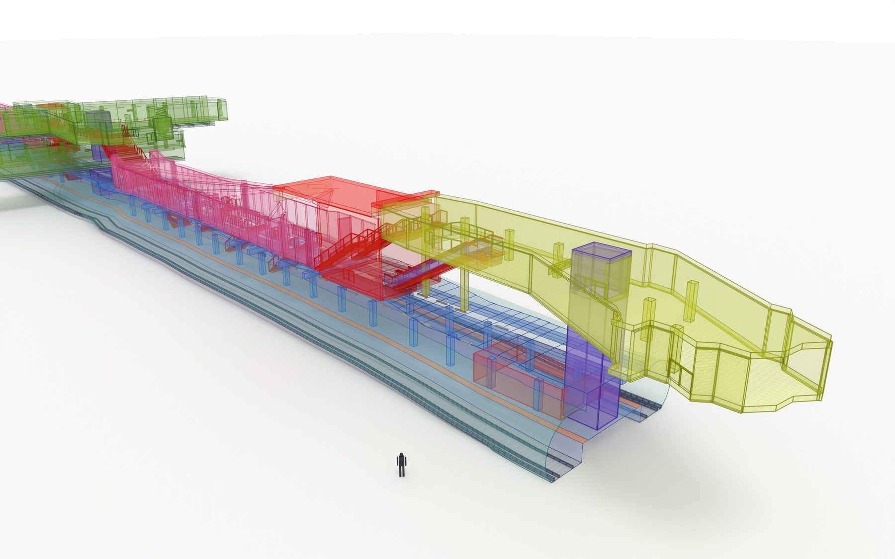
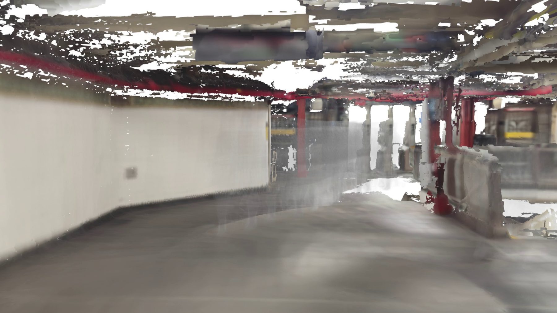
I'm now rebuilding all of Fulton Street's A/C, mezzanine and J/Z levels from phone LiDAR scans and 4K video: camera solves in COLMAP, Gaussian splats, a fused scan mesh, and a clean, idealised model. About 400 signs are being registered in the model for a full-station sign evaluation.
The "fabric" renders, inspired by Do Ho Suh, draw each line's spaces as translucent cloth: A/C blue, J/Z green, stairs red.
Wandering trails
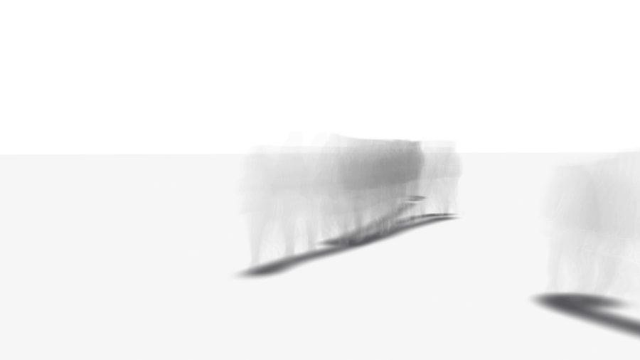
Real commuters are cut out of my phone videos and placed at their true floor positions in the scanned station. Their poses stack through time, so each person leaves a translucent trail that thickens where they slow down or hesitate: evidence of time spent finding the way. People appear only as anonymous grey figures.
Hung point cloud
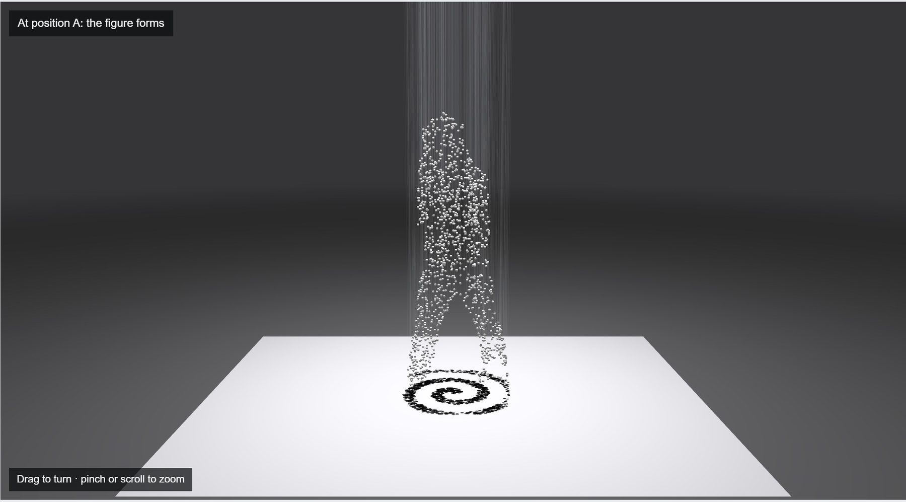
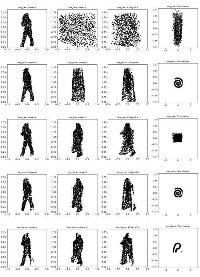
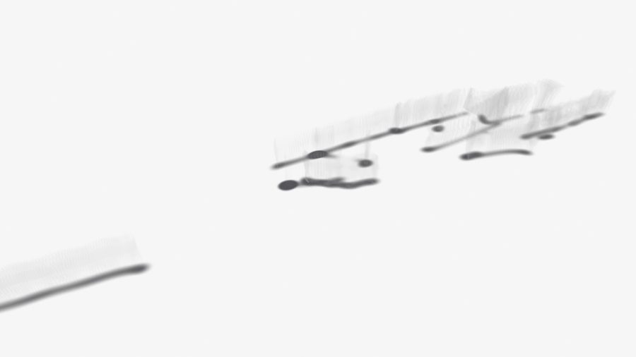
A design for a physical piece: thousands of beads on strings hung from a ceiling plate. From two marked spots the beads line up into a commuter's silhouette; a single overhead lamp casts their shadow on the floor as a second image, such as a route or the station plan. I wrote a browser simulator that solves the bead positions for several viewpoints at once.